| Natural Conditions: | |
| Wind: | Wind always from the south and the southwest, and strong wind from the northeast. The wind frequency of strong breeze is 0.61%. The impact of Typhoon is small. |
| Rainfall: | Annual average rainfall is 616.8mm, annual max. rainfall is 931.7mm. Rain season is July and August. |
| Fog: | The impact of fog is small. The fog with visibility of less than 1000m appears average 66 hours per year. |
| Temperature: | Annual average temperature is 10.2℃. July is the hottest month, with average temperature of 24℃, and January is the coldest with average temperature of -6.9℃. |
| Ice: | Severe ice period is from January to February, when there is a small amount of fast ice, which have no impact for vessel proceeding. |
| Tide: | Diurnal tide, with the highest tide level of 2.24m, the lowest of 0.04m, the average of 1.23m. |
| Tidal Current: | Reversing current. When tide rises, current flows to southwest, when tide tide falls, current flows to northeast. The maximum velocity is 0.5-0.6m/s. |
|
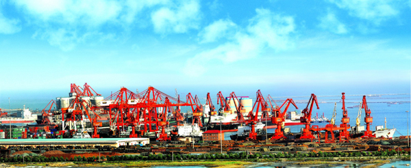
Navigation-supporting Information: | |
| Channel: | Approach channel is perpendicular to shoreline, angle to enter the basin is from 135° to 315°. Its length is 4.4km, and depth is 9.8m, which is available for vessels of 15000 DWT, and also available for vessels of 20000 DWT when tide rises. |
| Anchorage: | Anchorage out of harbor is on the east side of the exit of channel, with length of 12m and 4 anchorages, able to anchoring vessels of 15000 DWT. |